Geofencing in Delivery Apps: Delivery Zones, Free-Delivery Areas and Charges
How geofencing powers delivery apps: service areas, free-delivery zones, zone-based charges and live arrival alerts, with a real Hyderabad example.
Geofencing means drawing a virtual boundary around a real-world area and letting software react when a location is inside or outside it. In delivery apps it answers questions every food, grocery and distribution business faces daily: do we deliver to this address, is delivery free here, and what should we charge?
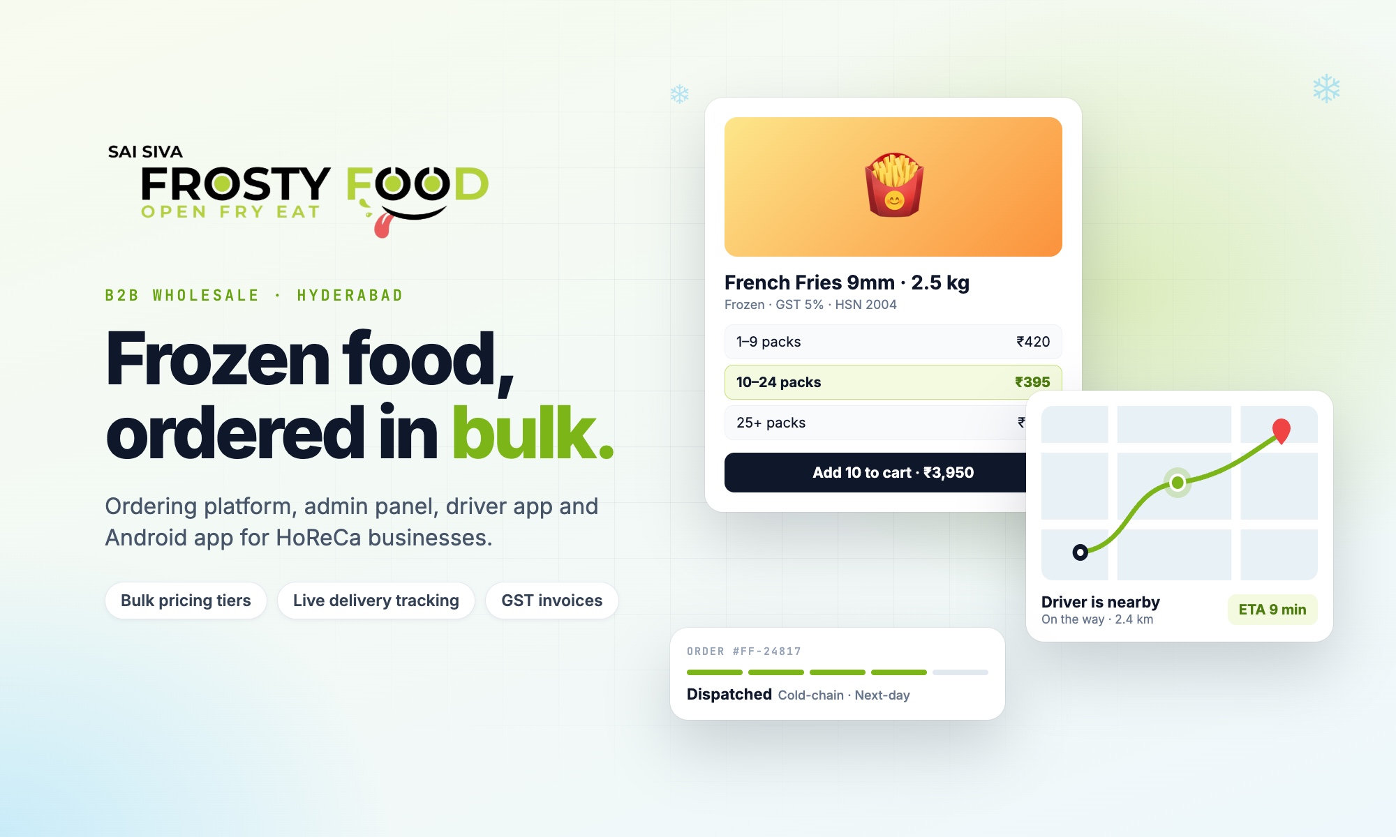
This guide explains how geofencing works in delivery apps, the zone setups that suit different businesses, and how we used it to map delivery across Hyderabad for Frosty Food, a well-known frozen-food brand.
What is geofencing?
A geofence is a shape on a map: usually a circle (a centre point and a radius) or a polygon (any outline drawn point by point). The app takes a location, such as a customer's delivery address or a driver's live GPS position, and checks whether it falls inside the shape.
That simple check powers many features:
- Accepting orders only from areas you can serve.
- Free delivery inside certain zones, and delivery charges elsewhere.
- Same-day delivery only where it is practical.
- Alerting the customer when the driver is nearby or has arrived.
Geofencing in a real delivery app: the Frosty Food setup
Frosty Food supplies hotels, restaurants and cafés across Hyderabad. Delivery rules depend on where the customer is, so we built delivery zones that the team draws and edits themselves on a Google map inside the admin panel:
- One large delivery area around the city. Orders, for delivery and for store pickup, are accepted only from addresses inside it. Customers outside see a clear message instead of a failed order.
- Smaller free-delivery circles inside it. Around the areas served most efficiently, delivery is free once the order reaches a minimum value.
- The rest of the main area. Addresses inside the city boundary but outside every free circle can still order, with a separate minimum order and a different delivery charge.
- Same-day delivery is offered only inside the free-delivery zones. Elsewhere the app switches to standard delivery automatically.
Staff can add a circle by searching a place and setting a radius, or draw any outline by clicking corners on the map, then drag, resize or redraw it. The system rejects shapes that cross themselves and zone names that already exist, so mistakes do not reach customers.
Common geofencing setups for delivery businesses
| Setup | How it works | Good for |
|---|---|---|
| Single service area | Accept orders only inside one boundary | New businesses, one store |
| Free-delivery zones | Free delivery inside chosen zones above a minimum order | Distributors, restaurants with a core area |
| Zone-based charges | Different delivery fee or minimum per zone | City-wide delivery with uneven costs |
| Distance-based charges | Fee grows with distance from the store | Single kitchens, pharmacies |
| Nearest-store routing | Order goes to the store whose zone contains the address | Multi-outlet chains, quick commerce |
| Arrival geofences | Small circles around the customer trigger "nearby" and "arrived" | Live tracking |
Geofencing for live tracking
Geofences also work around the customer. As the driver's phone shares its GPS position, the app checks it against small circles around the drop location and updates the order: driver is nearby, driver is arriving, driver has reached your destination. Customers stop calling to ask, and the business can see which deliveries are delayed. More on this in our guide to delivery management software.
Circles or polygons?
- Circles are quick to create and easy to explain ("free delivery within this area"). They are the right choice for zones around a store or a business district.
- Polygons follow real boundaries such as ring roads, rivers or municipal limits, so they avoid promising delivery across an area you cannot reach easily.
Most businesses end up using both: a polygon for the overall service area, and circles for special zones inside it.
Getting geofencing right
- Check at the address step, not after payment, so customers are never surprised.
- Pin the exact location. Ask customers to confirm the address on a map; typed addresses alone are often too vague.
- Let staff edit zones themselves. Delivery areas change with new drivers, stores and seasons.
- Show the rules openly on a delivery information page, using the same zones the app uses.
- Use server-side checks. The final decision on zones and charges should be made by the system, not the phone.
Frequently asked questions
Does geofencing need a mobile app?
No. Address checks work on websites too. Live tracking geofences need the driver's phone to share location, through an app or a mobile web app.
Is geofencing expensive to run?
Checking whether a point is inside a shape is cheap and runs on your own server. Map display, place search and route estimates use mapping services that charge by usage, so they should be used where they add value.
Can I charge different delivery fees in different areas?
Yes. Each zone can carry its own minimum order, delivery charge and delivery options, which is exactly how Frosty Food separates free-delivery zones from the rest of Hyderabad.
Need delivery zones, geofencing or live tracking in your app? Talk to Next Code Company, or read about our mobile app development services.
Related articles
Have a story worth engineering?
We turn strategy into shipped software. Book a free consultation and we'll map the build, the timeline and the cost.